Many challenging research problems involve understanding where our ancestors lived, their land, neighbors, jurisdictions, and landmarks. While historical maps can sometimes be found for the geography of our research problem, they often don’t cover the timeframe or include specific data that our research has uncovered. Genealogists frequently need to edit or create maps to communicate their findings and conclusions. This presentation will focus on leveraging existing maps, using online tools to annotate and edit, and/or create new maps that can be utilized for individual analysis, as well as in research reports and articles. With over 40 years of experience as a professional graphic designer, the lecturer will illustrate techniques using free and paid tools that can be used to produce effective maps.
In this engaging and visually rich presentation, certified genealogist and retired graphic artist Kimball Carter demonstrates how maps can be transformative tools for genealogical problem-solving. Drawing on nearly 50 years of research experience, Carter shows how both historical and custom-created maps can clarify ancestral locations, resolve confusing place names, and visually support genealogical narratives. The session highlights practical ways to use freely available digital mapping tools to replicate professional-quality results—empowering researchers of all skill levels to integrate cartography into their genealogical analysis.
Key Takeaways:
Maps as Analytical Tools: Carter emphasizes that knowing exactly where an ancestor lived is foundational to accurate research. Maps help interpret boundary changes, identify record jurisdictions, and illuminate family migration patterns. From using Meyers Gazetteer for German place identification to leveraging England Jurisdictions 1851 for parish boundaries, historical maps are shown as essential for contextualizing records.
Creating Custom Maps with Free Tools: Even without professional software like Adobe Illustrator, genealogists can produce polished maps using PowerPoint, Google Slides, and Canva. Carter provides detailed, step-by-step guidance on tracing maps, layering features, and designing visual aids for reports and publications—all using accessible, no-cost platforms.
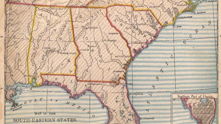
Real-World Case Studies: Through examples from Germany, England, and colonial Virginia and Kentucky, Carter demonstrates how mapping clarified family relationships, corrected misinterpreted place names, and visually documented complex land transactions. These case studies illustrate how maps not only enhance understanding but can also serve as compelling genealogical evidence.
For researchers eager to bring new clarity and creativity to their projects, this webinar offers both inspiration and instruction. View the full presentation to see Carter’s mapping demonstrations in action and gain practical insights into using cartographic evidence in genealogical writing and proof arguments.
To deepen your exploration, be sure to review the syllabus and additional resources provided with the webinar. These include links to mapping websites, gazetteers, and tutorials that will help genealogists of all experience levels confidently integrate maps into their research process.


 Syllabus


Wow. I am a loss for words. Thank you for giving us so many new ideas for using maps for family history research and so many helpful hints for using mapping tools.
Outstanding presentation on the use of maps in genealogy and how it can make a difference in connecting ancestors. I appreciated the detailed explanation of using Power Point and/or Google Slides. Definitely one to watch again. Thank you
His list and demonstration of resources is outstanding, and his presentation aptly showed how mapping can help answer genealogical questions.
Wish there was a “hands on” course somewhere that would walk you through creating your own maps.
Great, and very useful, lecture! Do you happen to have any other lectures that either go more into depth in using maps for genealogical problems or any that go more into depth in creating maps, maybe step-by-step (or courses, etc.), as this is very useful, but the creating map tips was a little quick to be able to try it on my own. 🙂
Very interesting mapping information,
Great ideas for creating maps! Thank you!
Great information! I would love to do a hands-on workshop with Kimball to guide us through how to make a layered map with our application of choice. Thank you for presenting a few different options and explaining pros and cons of each. Wonderful!