Log in
Join Now
Homepage
Upcoming Webinars
Webinar Library
Speakers
Cancel
Filters
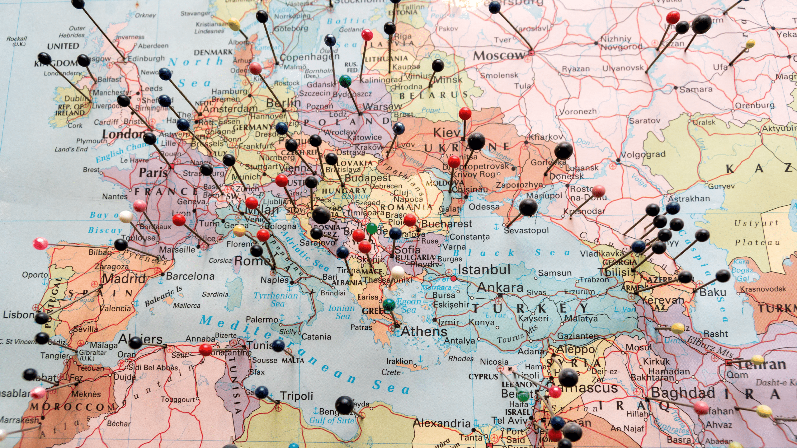
Historical Records
Maps
English
Free
CC
22
of 2734 webinars
Clear filter
Sort by
Newest
00:40:07
Historical Records
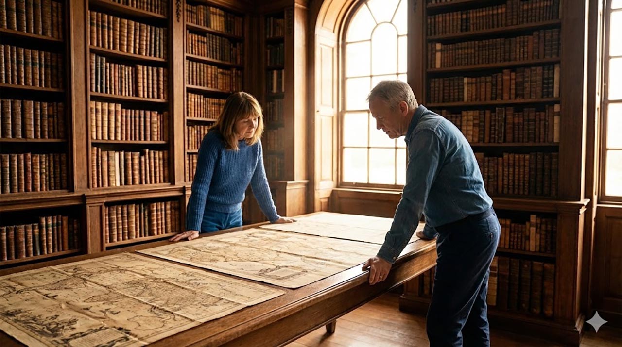
Genealogy Orienteering: Using Maps to Find the RIGHT Place
George G. Morgan
164 views
CC
01:49:51
Google
•
Historical Records
Using Google Earth Web to Tell Your Family History Migration Stories
Colleen Robledo Greene, MLIS, FTxSGS
1.4K views
CC
01:05:33
Historical Records
•
BCG
Mapping for Research Success (a 2025 Reisinger Lecture)
Kimball Carter, CG®
966 views
CC
01:11:42
Historical Records
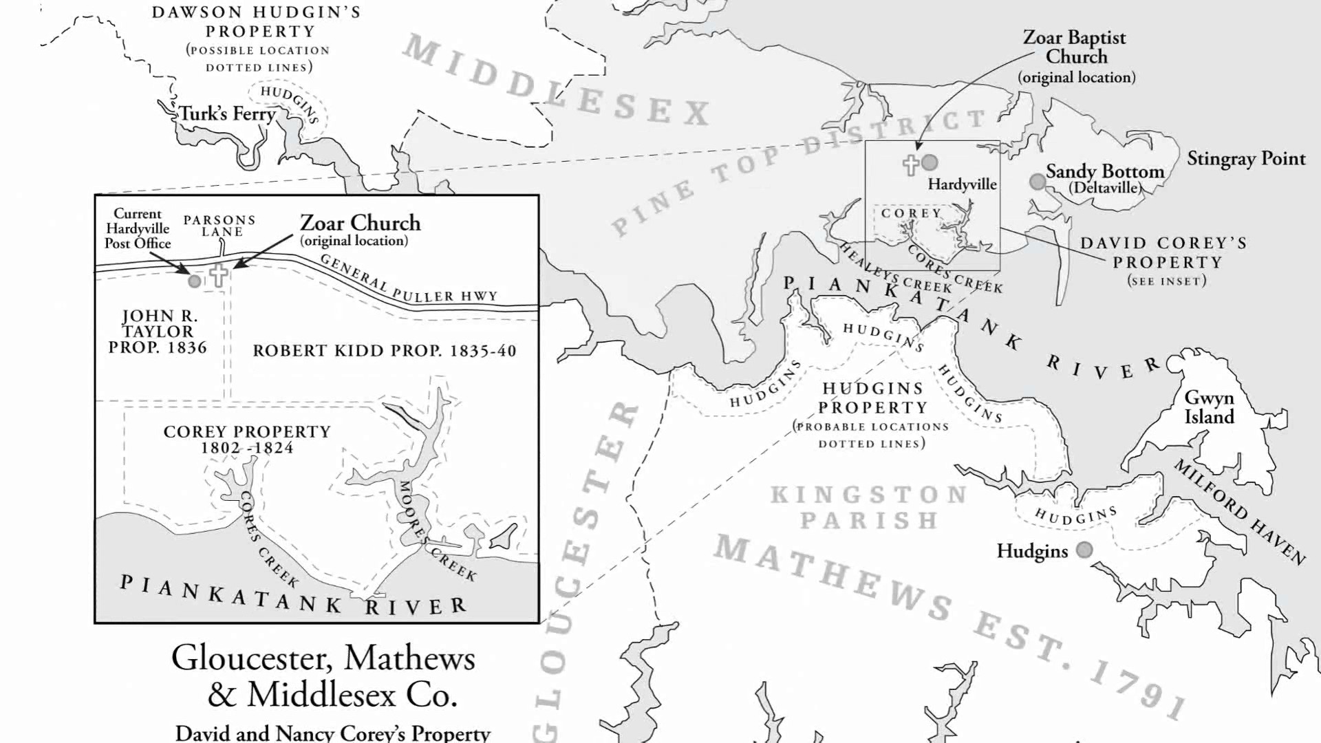
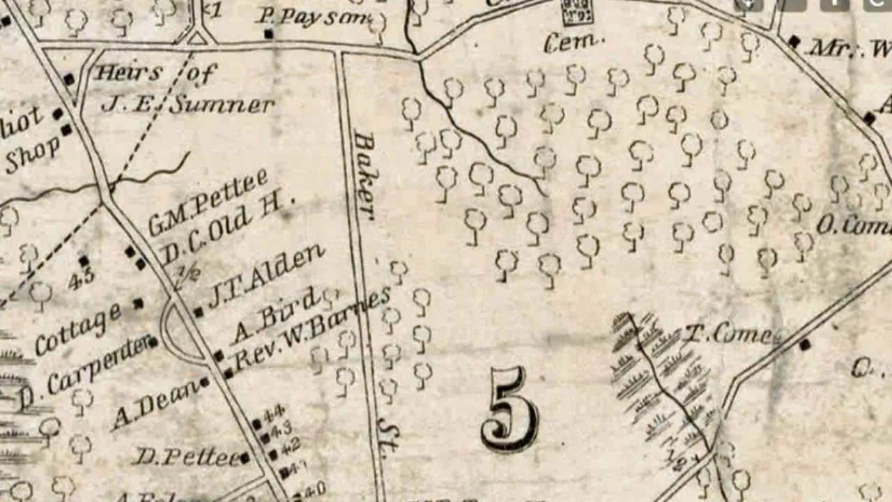
Finding Uncle John’s Grist Mill, His Neighbors And That Cemetery Using Maps, Records & Stories
J. Mark Lowe, FUGA
1.0K views
CC
01:28:36
Methodology and Skills
•
Historical Records
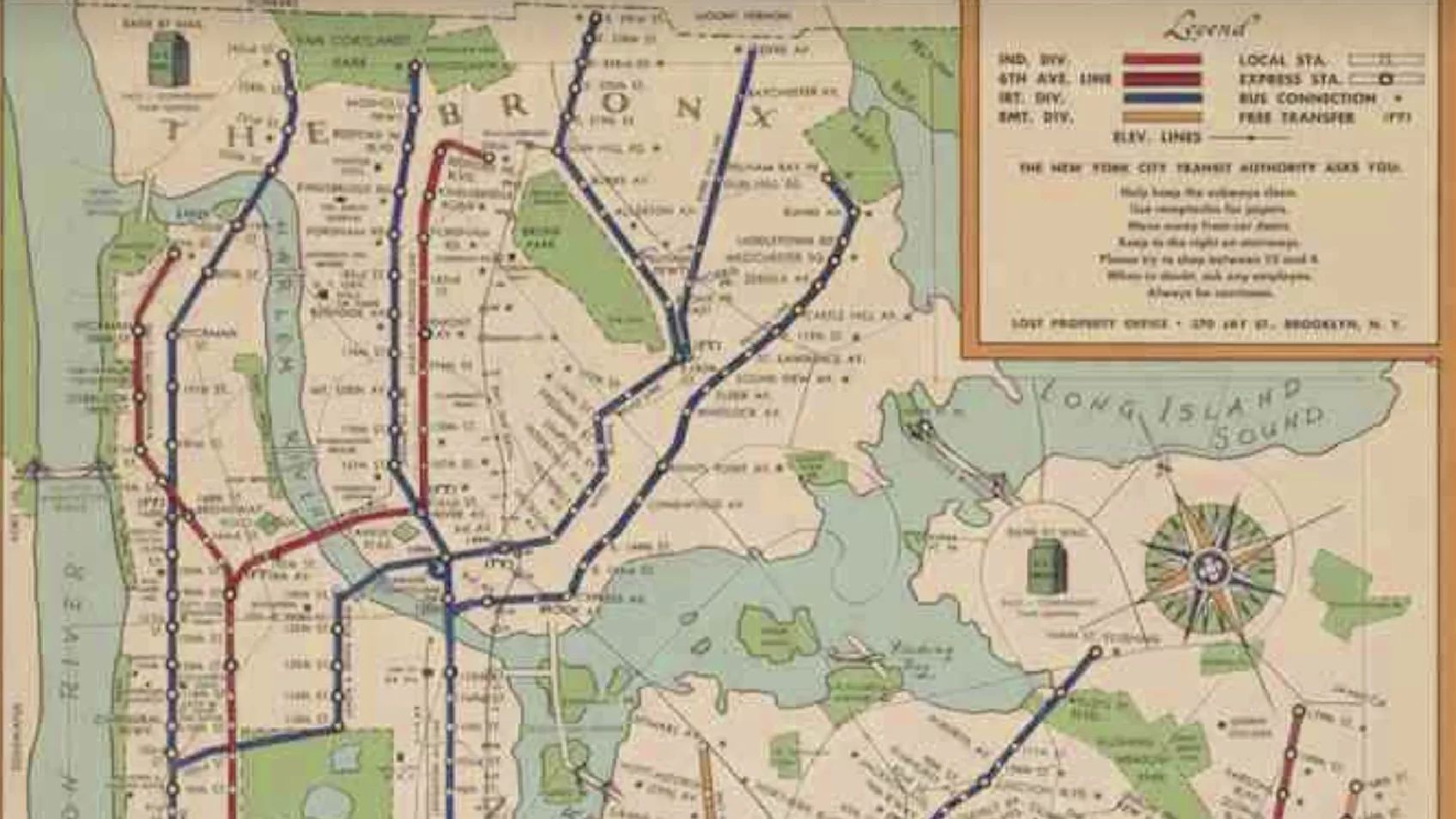
Urban Mapping Tools
Rick Sayre, CG, CGL, FUGA
1.2K views
CC
01:05:54
Places and Ethnicities
•
Historical Records
Mining Washington-area Map Repositories
Rick Sayre, CG, CGL, FUGA
433 views
CC
01:06:55
Historical Records
•
Bonus webinars
50 Websites for Finding Maps
Gena Philibert-Ortega
2.7K views
CC
00:55:16
Historical Records
•
Bonus webinars
Genealogical Applications of Historical GIS
Rick Sayre, CG, CGL, FUGA
1.4K views
CC
01:32:03
Methodology and Skills
•
Historical Records
Using Maps in Genealogical Research
Sara A. Scribner, CG
4.4K views
CC
01:11:44
Historical Records
•
Bonus webinars
Using Military Maps in Genealogy
Rick Sayre, CG, CGL, FUGA
1.4K views
01:30:11
Methodology and Skills
•
Historical Records
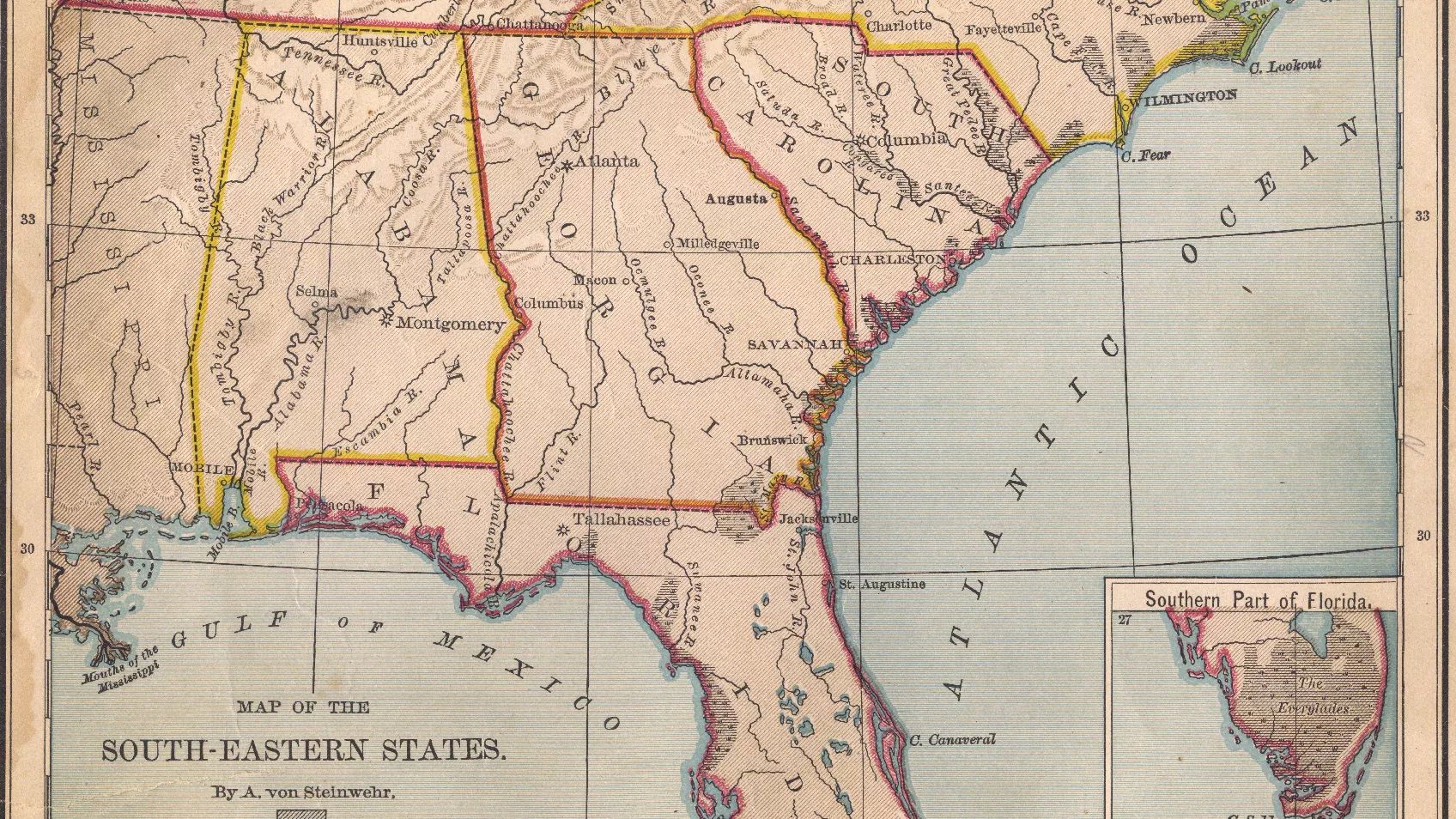
Southern States Migration Patterns
Mary Hill, AG
3.8K views
01:02:43
Places and Ethnicities
•
Historical Records
Where is That? Using Eastern European Atlases, Maps and Gazetteers
Lisa Alzo
595 views
View more
Upcoming Live Webinars
View all (158)
Google
•
Down Under Series
7 consejos de productividad para Google Chrome
Richard Miller
—: —
Register for free
Beginners
•
Historical Records
Essential Skills for New Genealogists 3 of 12: U.S. Census Records from 1790-1950 and Beyond
Dave Mc Donald
—: —
Register for free
Methodology and Skills
Genealogía en lo más recóndito de tu hogar: redescubre tu historia entre cajones y recuerdos
Tomás González
—: —
Register for free
MyHeritage
•
Technology
ScribeAI: It Was There All Along…You Just Didn’t See It
Janna Helshtein
&
MyHeritage Webinars
—: —
Register for free
Places and Ethnicities
Massachusetts Land Records: Tracing Property and Ancestors
Seema-Jayne Kenney
—: —
Register for free
Historical Records
•
MyHeritage
OldNews.com de MyHeritage est une bonne nouvelle pour les généalogistes
James Tanner
&
MyHeritage Webinars
—: —
Register for free