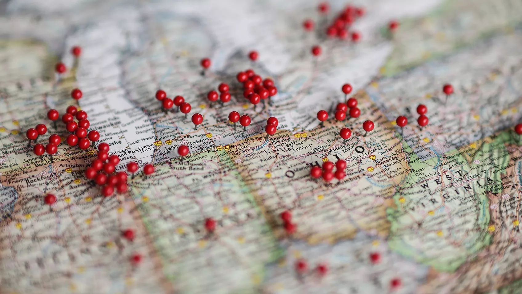
Urban Mapping Tools
Rick Sayre, CG, CGL, FUGA
Content
Welcome
40s
About BCG
4m 29s
Speaker's Introduction
1m 17s
Introduction
1m 18s
Land Ownership Maps
9m 32s
Fire Insurance Maps
17m 15s
City Directories
5m 6s
Panorama Maps
2m 42s
Standards
4m 35s
Examples and Best Practices
21m 24s
House Histories
2m 34s
Modern GIS Applications
4m 28s
Context
7m 2s
Announcements
41s
Questions / answers
5m 33s
About this webinar
This presentation will suggest strategies to correlate large amounts of information often developed in urban research, with a significant emphasis on the use of cartographic resources. Generally, researchers of urban settings have an abundance of sources to consider. Many times, the challenge is to connect and analyze multiple, even overwhelming, amounts of information. A variety of resources will be discussed, especially, cadastral maps (land ownership), Sanborn fire insurance maps and city directories.
About the speaker
Rick Sayre, CG, CGL, FUGA, a retired colonel who served 31 years in the U.S. Army, is a long-time researcher and instructor in genealogical topics. Rick is a past president and current board member of...
Learn more...Related webinars


Comments (63)
I am on webinar marathon to watch all of Rick's existing webinars! He is a genius.
This presentation was packed to the hilt with resources. Bravo! Would it be possible to have Rick make a webinar on each resource and how to navigate and use with a case study. I would watch all of them !!
Great presentation! Love all the information and resources available. Thank you!
Soundly packed with excellent information - Rick Sayre provides well thought-out practical applications using Geography and Genealogy, soundly undergirded with the Genealogy Proof Standard and professional considerations. One for the "repeat" button, definitely!
Rick Sayre, thank you for your in-depth and broad coverage presentation!!! I'll need to watch the replay in chunks to grasp the information. Also, I will make a note to myself that this webinar is a fantastic urban mapping reference for my future research. Thanks again!
So much information, wonderfully and clearly presented. I will definitely watch again. I'm pleased that the syllabus is so comprehensive.
What can I say? Rick is always great. He is the expert on maps!
So much genealogy knowledge in Maps!