Utah: Land and Maps
Gena Philibert-Ortega
Content
Introduction
5:52
Church Owned
4:55
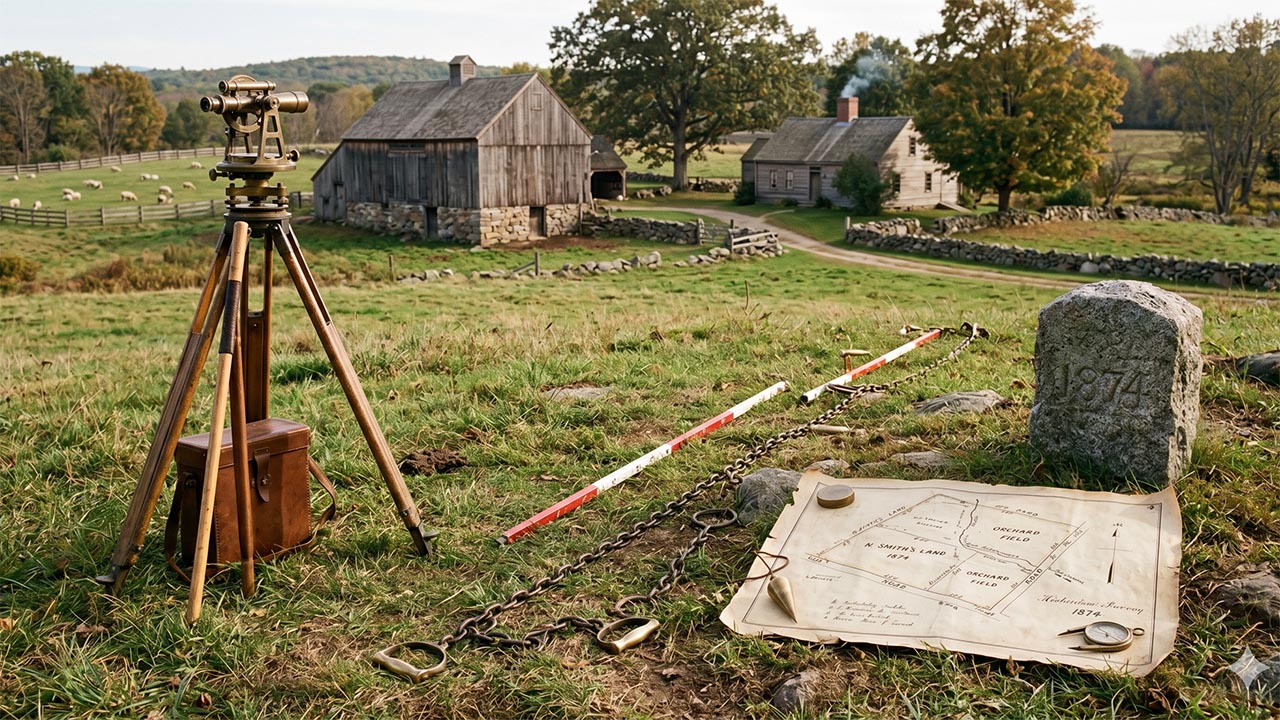
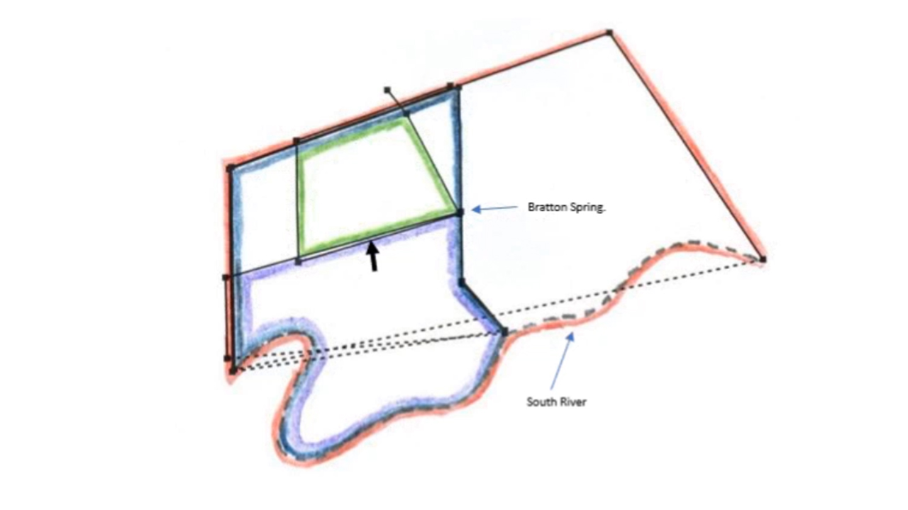
Federal Land
7:06
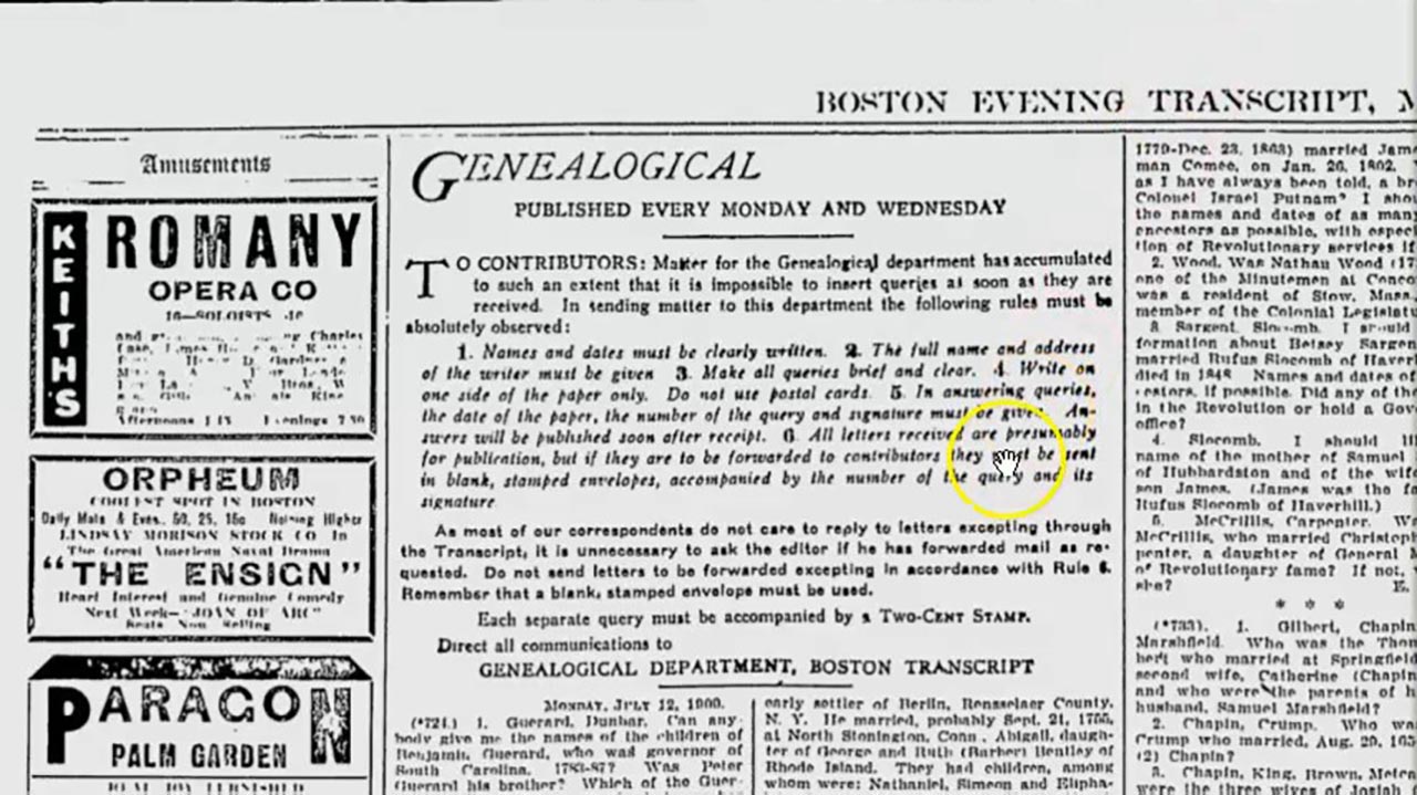
Miscellany
4:52
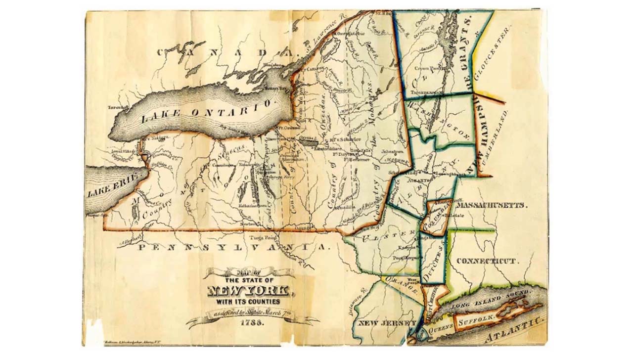
Maps
22:49
Resources
2:09
About this webinar
Utah land has an interesting history that begins with Mexican ownership until 1847 and then the responsibility for land distribution was taken over by The Church of Jesus Christ of Latter-day Saints. It wasn't until 1855 that the federal land survey began in Utah. Understanding where the records are depends on the historical time period. To better understand the land and your ancestor place, a good map of Utah is a must. We will take a look at land records historically and where they can be found. We will also look at maps through the history of Utah and what map collections can help you better understand the places your ancestor lived.
About the speaker
Gena Philibert-Ortega is an author, researcher, and instructor whose focus is genealogy, social and women's history. She holds a Master’s degree in Interdisciplinary Studies (Psychology and Women's St...
Learn more...Loading comments...
Related webinars